BLOG スタッフブログ
JP
観光
2023.06.25
1,107 view
[Fukushima] Jododaira trekking
スタッフ:Niikura

I went trekking in Jododaira and Kamanuma on a precious sunny day between the rainy season.
This time we will introduce the latest situation with photos!
All photos were taken on June 17th.
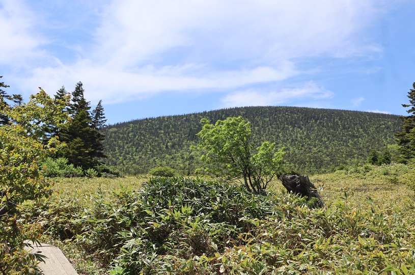
What is Kamanuma?
Located at an altitude of 1,770m, it is said that it got its name from its shape resembling a sickle. Starting and ending at the Jododaira Visitor Center, there is a walking course that goes around 5km (requires a little over 2 hours). The south side is a tundra-like grassland, and the north side is a wetland, where you can observe many alpine plants.
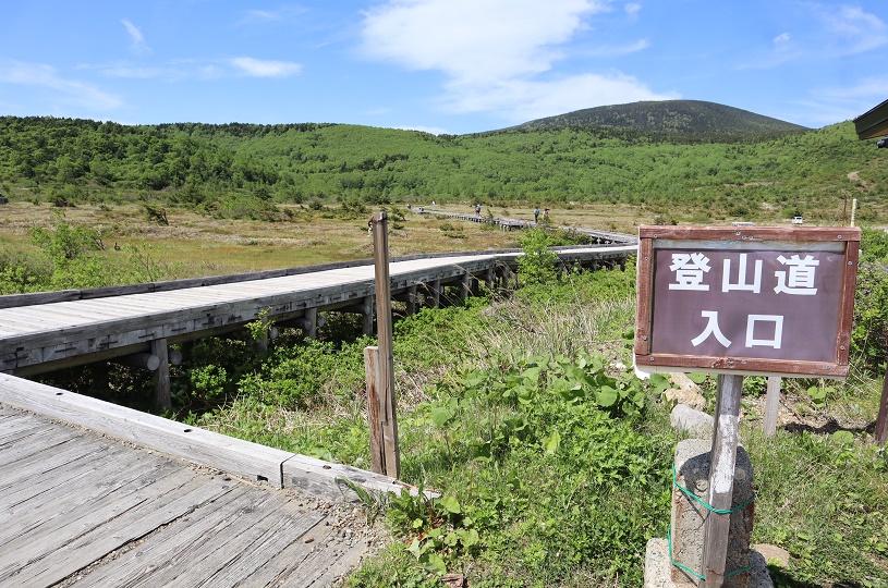
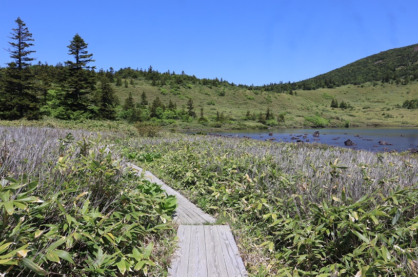
Enter the walking course next to the Jododaira Visitor Center.
Although it is written as "mountain trail", first walk on the boardwalk.
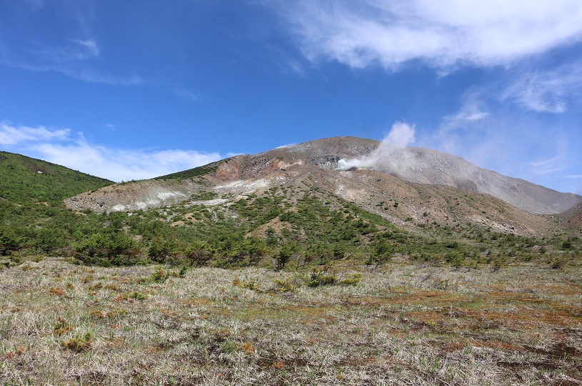
Azumayama Oana crater from the boardwalk.
What sounded like a jet plane was the sound of volcanic gas erupting from the crater...!
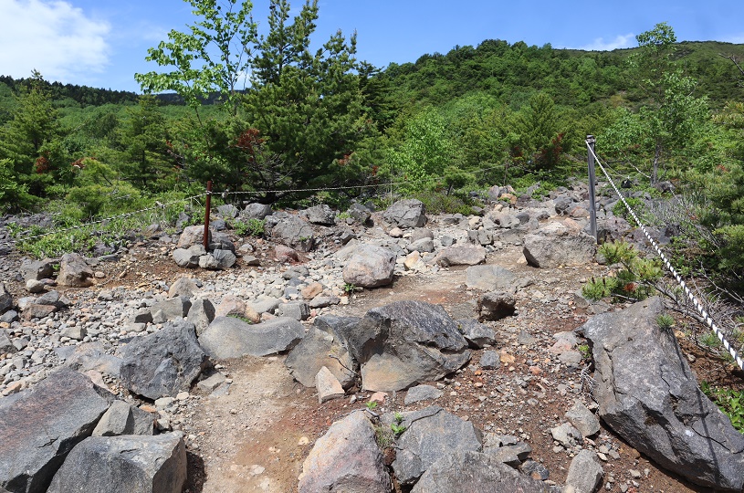
After passing the boardwalk, there is an uphill slope where stones and rocks stand out.
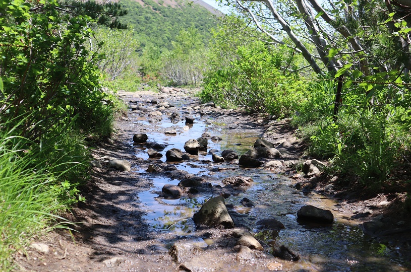
It had been raining until the day before, so it was like a stream here and there.
My shoes are all covered with mud...
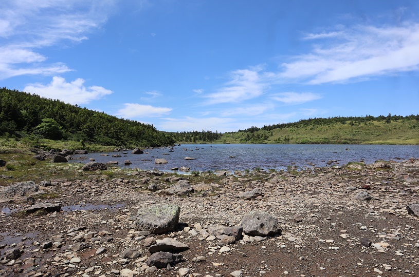
The area around Kamanuma has well-maintained wooden paths that make it easy to walk, and there are benches at scenic spots and along the waterfront. Many people were taking a break.
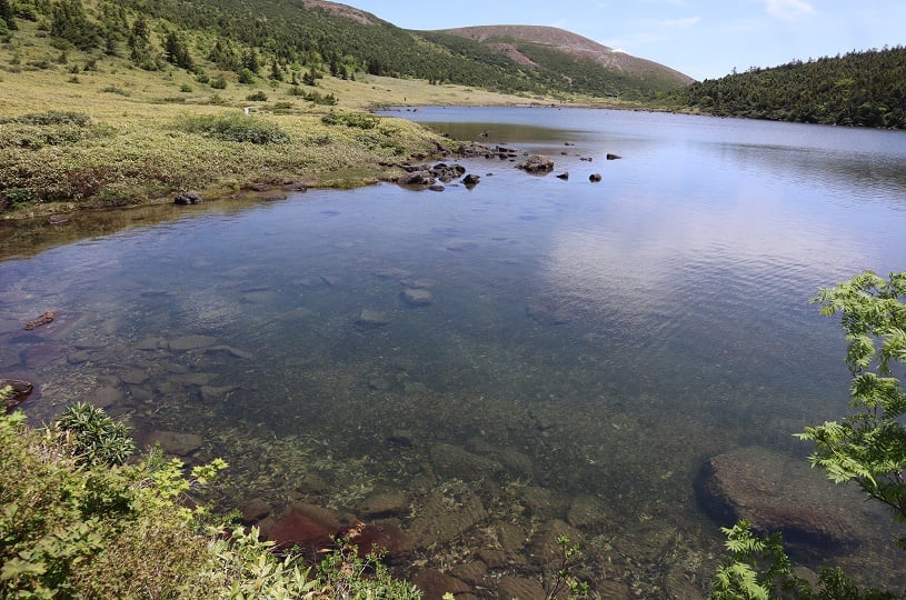
The surface of the water is clear !
Plants were seen on...
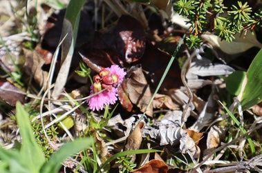
Fringed Galax
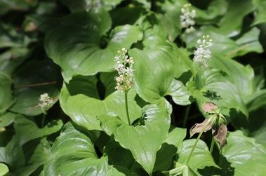
False lily of the valley
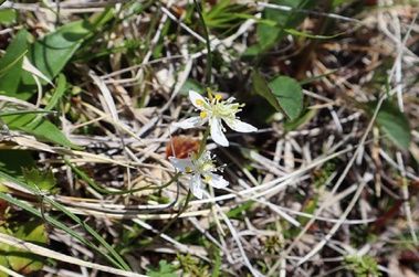
Coptis trifolia
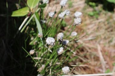
Cotton-sedge
*Don't forget to wear a bear bell when taking a walk.
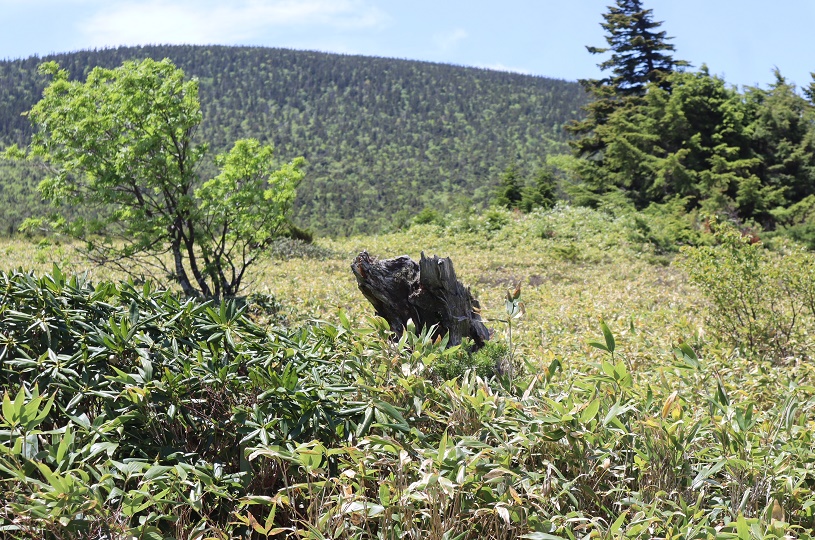
For a moment, I mistook a dead tree on the side of the walking course for a bear.
You can make a reservation from here. Single travelers are welcome!
Perfect for staying sightseeing! There is also a reasonable plan for consecutive nights. ↓↓↓
Thank you for visiting Kyukamura Urabandai blog today.
RANKING/ 直近30日の人気記事


ARCHIVE/ 月別アーカイブ

Reservation ご利用形態から予約

Reservation 空室検索
ログイン・新規登録
メールアドレスとパスワードの
ご登録がお済みの会員様
ご登録のメールアドレス・パスワードを入力後、
ログインしてください。
Qカードをお持ちで
メールアドレスのご登録をしていない会員様
初めてご登録されるお客様
※お客様の入力された情報は
「SSL暗号化通信」により保護されています。
安心してご利用ください。
